


raygeo.image.render
Functions
geometry_to_image()
geometry_to_image(
    strokes: geo.Geometry,
    fills: geo.Geometry,
    size_mm: tuple[float, float],
    dpi: float = 96,
) -> numpy.ndarray
Rasterise vector geometry into an RGBA uint8 image.
Converts mm‑space Y‑up geometry into a pixel buffer (Y‑down, origin top‑left) at the given dpi.
Uses basic anti-aliasing for the wire‑frame strokes, and scan‑line filling for the closed polygons.
| Parameter | Type | Description |
|---|---|---|
strokes | geo.Geometry | Wire‑frame paths (stroked in black). |
fills | geo.Geometry | Closed polygons (scan‑line filled in light gray). |
size_mm | tuple[float, float] | Physical size (width, height) in mm. |
dpi | float = 96 | Output resolution in dots per inch (default 96). |
| Returns | numpy.ndarray | numpy.ndarray with shape (H, W, 4) and dtype uint8. |
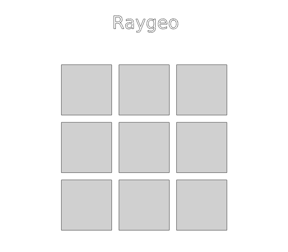
Vector geometry rasterised into an RGBA pixel buffer